")
")
MINA - Web Application Meteo
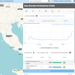
For viewing and analyzing the data of the monitoring stations, MTX offers MINA, a web application created with the most recent open-source technologies, easy and intuitive to use, made available also through cloud installation managed by a major Cloud Solution Provider.